Photos Main Page - Vatersay, Barra + South Uist - Benbecula, North Uist + Berneray - Harris - Lewis

Photos Hebrides 2006 Background
The Western Isles or Outer Hebrides stretch for about 120 miles along the
north-west extremity of the British Isles. There are some 200 islands in total of which only 12
are inhabited and contribute to a population of 27,000+. Most people travel by Caledonian MacBrayne ferries to
and between the islands. It is possible to select a combined ticket for your own customised route to take in
the islands
you wish. An alternative is a flight to either Stornoway, Benbecula or Barra airport, the latter
operating on the low-tide beach! If you do not have your own transport it is possible to go on tours in
old-style buses. Causeways and bridges now link many of the islands, but a ferry links the Uists to Harris
and Eriskay to Barra. The climate is healthy (!) - plenty of wind,
fairly frequent rain/showers, but, in the summer months, very long hours of daylight. The lighthouses
and shipwrecks around the coast are a reminder of the ferocity of Atlantic storms. Along the west coast
there are long stretches of machair, a very fine rich soil enriched by seaweed fertiliser. This is
carefully maintained and farmed and provides a very rich flora and excellent cover for many birds.
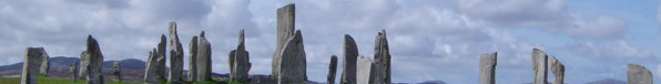
Within the other pages are descriptions of the long history of the islands' occupants. Today most
people live from work in tourism and the infrastructure for a modern community. Challenges common to
all communities such as waste disposal can pose particular problems for these remote islands.